Sardinia · Baunei, Gulf of Orosei
The Gulf of Orosei and Baunei
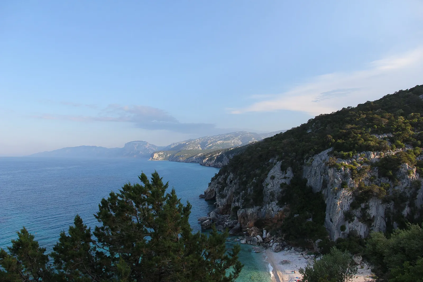
Coves reached only on foot or from the sea, where the land of shepherds drops sheer onto turquoise
- Sea & islands
- Hiking
- Nature
Here Sardinia does not surrender to the roads. Above Baunei stretches the limestone Supramonte of the shepherds; below, a cliff face running for kilometres plunges onto coves of white pebbles — Goloritzé, Mariolu, Biriola, Sisine, Luna — that no car can reach. This is no postcard beach: it's a fragile place earned on foot, and best told to a few.
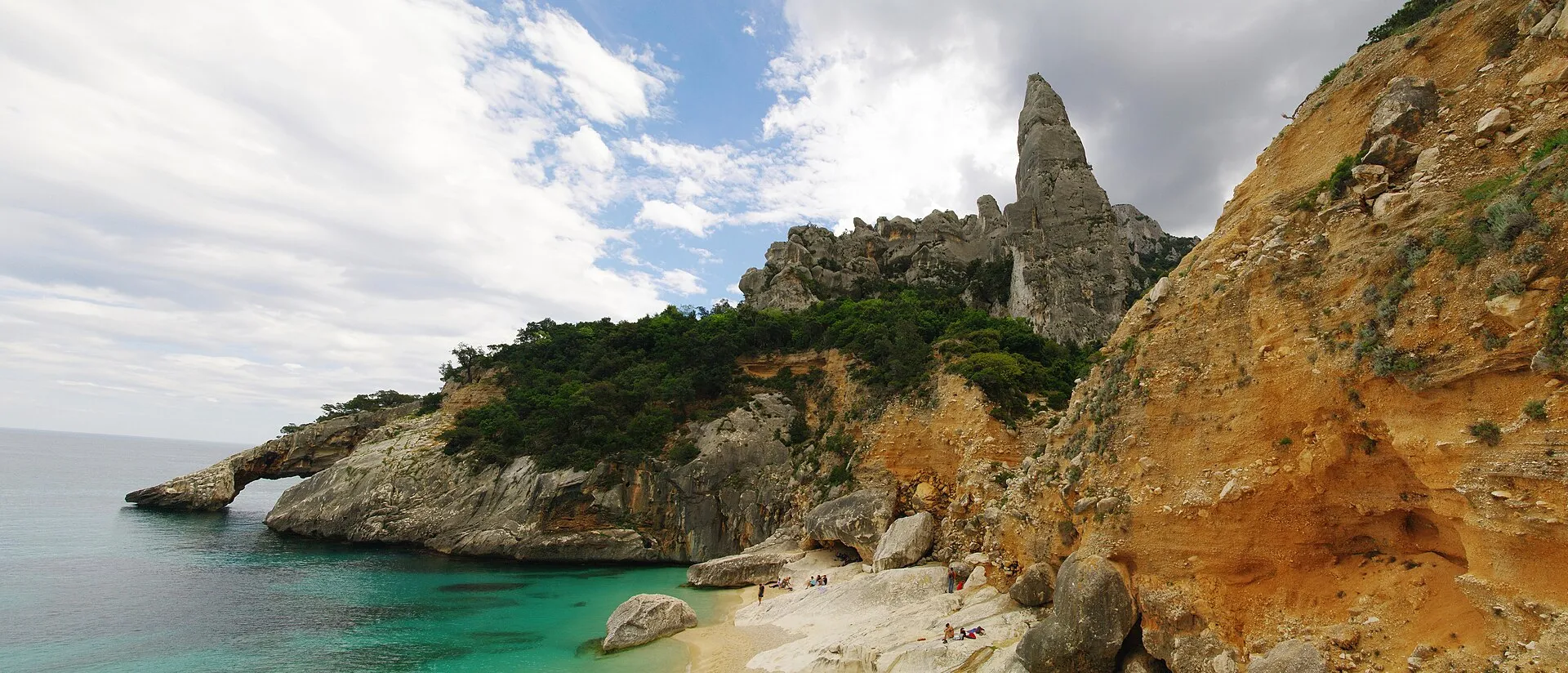
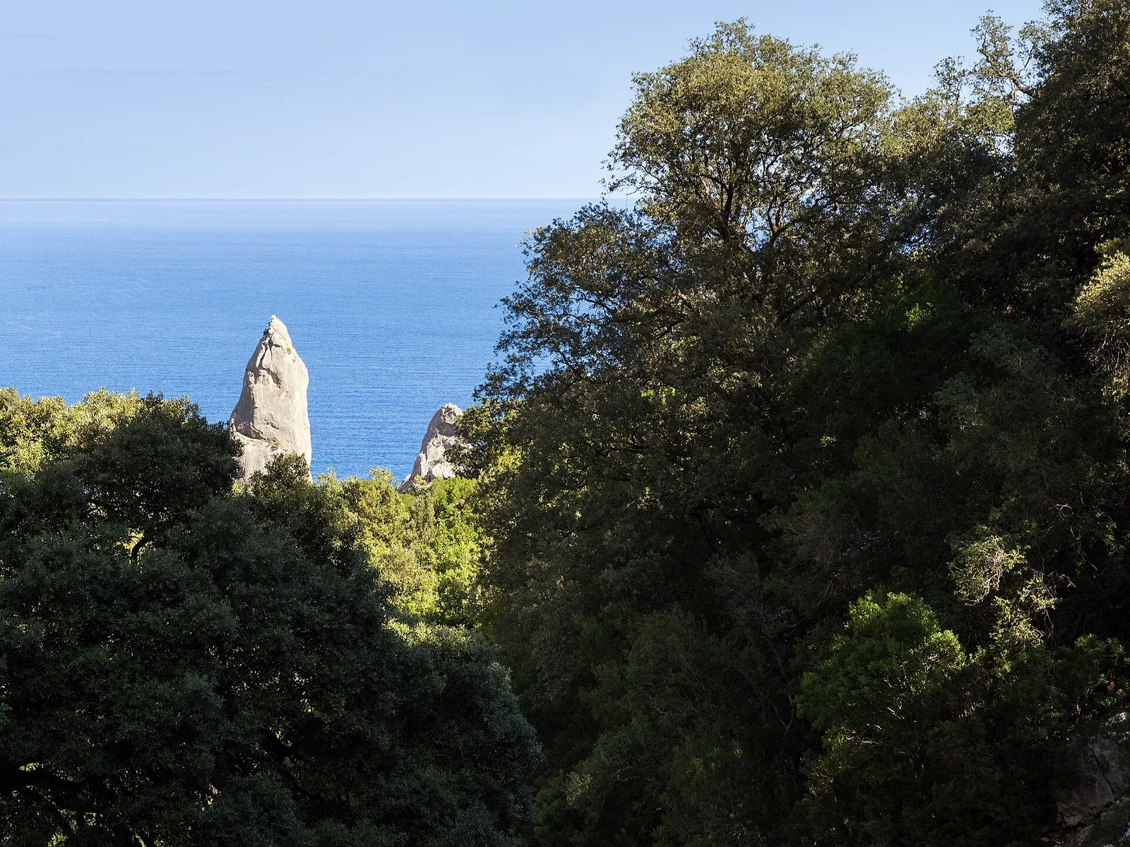
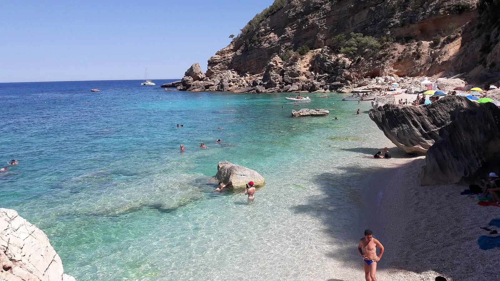
You don't arrive at Cala Goloritzé by chance. The beach everyone photographs today did not exist before 1962: in that year, after the most intense rains ever recorded on the island, the karst water carved the rock until an entire wall collapsed into the sea, leaving white pebbles and a limestone spire 143 metres high — Monte Caroddi — pointing skyward like a natural bell tower. Beside it, the stone arch is what remains of a collapsed sea cave. Our tour leads tell you the story up there, on the path that descends from the Golgo Plateau: you understand that this turquoise is young, and that the mountain made it and could unmake it.
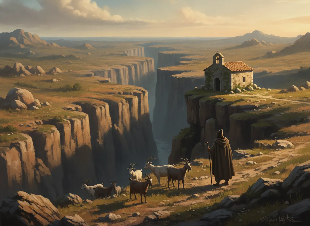
Above the coves lies a world few look upon: the Golgo Plateau, at four hundred metres, where goats, donkeys and pigs raised by the shepherds of Baunei graze freely. Here opens Su Sterru, a chasm 270 metres deep — the deepest single-chamber abyss in Europe — which for centuries was said to be the lair of a serpent, until in the seventeenth century the shepherds built beside it the small country church of San Pietro to drive the menace away. It is a stern, sacred landscape, of holm-oak woods, stone sheepfolds and silence.
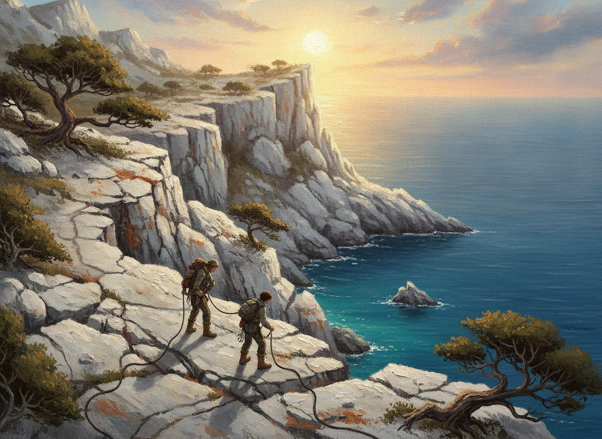
And then there is the great crossing: the Selvaggio Blu, conceived in the 1980s by the mountaineers Mario Verin and Peppino Cicalò, following the passages that charcoal-burners and shepherds had opened among the cliffs. Some fifty kilometres from Pedra Longa to Cala Sisine, with abseil descents, exposed ledges and over three thousand metres of elevation gain: it is considered the hardest trek in Italy. We don't offer it to everyone — but we take you through its most beautiful stretches, accompanied by those who know those rocks by heart.
What you'll live
Cala Goloritzé and the spire
Reached only on foot from the Golgo: white pebbles, the stone arch and the 143-metre pinnacle born of a 1962 landslide.
The coves from the sea by gozzo
Mariolu, Biriola, Sisine and Luna reached from the water, with the first gozzi of the morning and limited numbers to respect the places.
Golgo Plateau & Su Sterru
The shepherds' plateau at 400 metres: free-roaming flocks, the church of San Pietro and the deepest chasm in Europe.
Selvaggio Blu, the finest stretches
A taste of the legendary crossing — suspended ledges, rope descents and a sheer drop to the sea — with someone who knows every passage.
Stories of the villages
Every village on the journey keeps a story. Here are the ones your tour lead will bring back to life.
 01
01 Cala Goloritzé — La frana che inventò una spiaggia
La spiaggia che oggi tutti fotografano non c'era prima del 1962. In quell'anno, dopo piogge fra le più intense mai registrate sull'isola, l'acqua infiltrata nel calcare scavò la montagna finché un'intera parete crollò nel mare: dal disastro nacquero i ciottoli bianchi di Cala Goloritzé e restò in piedi un pinnacolo di roccia alto circa 143 metri, l'Aguglia — il Monte Caroddi — puntato verso il cielo come un campanile naturale. Accanto, l'arco di pietra è ciò che rimane di una grotta marina sprofondata.
Il tuo tour lead te lo racconta lassù, sul sentiero che scende dall'altopiano del Golgo, prima che il primo gozzo arrivi sotto costa. Quando metti i piedi nell'acqua e alzi lo sguardo verso l'Aguglia, capisci una cosa che le cartoline non dicono: questo turchese è giovane, l'ha disegnato la montagna in una sola notte di pioggia, e proprio per questo va trattato con rispetto.
 02
02 Altopiano del Golgo — L'abisso e la chiesa dei pastori
A quattrocento metri sopra le cale si apre un mondo che pochi guardano: l'altopiano del Golgo, dove fra leccete e ovili di pietra pascolano allo stato brado capre, asini e maiali allevati dai pastori di Baunei. Qui la terra si spalanca in Su Sterru, una voragine carsica di circa 270 metri, l'abisso a camera unica più profondo d'Europa. Per secoli si raccontò che fosse la tana di un serpente mostruoso, finché i pastori non innalzarono lì accanto la piccola chiesa campestre di San Pietro, a presidiare con la fede un buco che pareva sprofondare nell'ignoto.
È un paesaggio severo e sacro, fatto di silenzio, vento e pietra. Il tuo tour lead ti porta fra gli ovili al mattino presto, quando il sole taglia basso fra i lecci e l'odore del mirto sale dal terreno: ti siedi con chi quegli animali li alleva da sempre, e capisci che le cale là sotto sono solo l'ultimo gradino di una civiltà che vive in alto, fra le rocce.
 03
03 Selvaggio Blu — Il sentiero più duro d'Italia
Negli anni Ottanta gli alpinisti Mario Verin e Peppino Cicalò ebbero un'idea quasi folle: collegare a piedi la costa del Golfo di Orosei seguendo i passaggi che carbonai e pastori avevano aperto fra le falesie. Nacque così il Selvaggio Blu, una cinquantina di chilometri da Pedra Longa a Cala Sisine, con calate in corda doppia, cenge esposte a strapiombo sul mare e oltre tremila metri di dislivello complessivo. È considerato il trekking più impegnativo d'Italia: non un percorso, ma una traversata che si guadagna passo dopo passo.
Non lo proponiamo a tutti, e lo diciamo con onestà. Ma ti accompagniamo nei suoi tratti più belli, con chi quelle rocce le conosce a memoria, fino a una caletta che nessuna strada raggiunge. Quando ti cali lungo una parete e poi, all'improvviso, il mare turchese si apre sotto i tuoi piedi, ovili e calette irraggiungibili smettono di essere parole: diventano l'unica cosa che esiste, là, davanti a te.
Una costa giovane, scolpita da acqua e pastori
Qui la storia è insieme geologica e umana: la roccia ha disegnato le cale in tempi recentissimi, e l'uomo le ha rese raggiungibili solo a piedi o dal mare. Ecco le tappe che il tuo tour lead ti farà toccare con mano.
- 1962
La frana che creò Goloritzé
Dopo piogge eccezionali, una parete calcarea crolla in mare: nascono i ciottoli bianchi di Cala Goloritzé e resta in piedi l'Aguglia (Monte Caroddi), circa 143 metri.
- Anni Ottanta
Nasce il Selvaggio Blu
Gli alpinisti Mario Verin e Peppino Cicalò tracciano la traversata seguendo i passaggi di carbonai e pastori: da Pedra Longa a Cala Sisine, oggi il trekking più duro d'Italia.
- 1993
L'Aguglia palestra di roccia
L'apertura della via 'Sinfonia dei Mulini a Vento' consacra il pinnacolo di Goloritzé tra le mete di arrampicata più ambite del Mediterraneo.
- 1995
Goloritzé monumento naturale
La Regione Sardegna tutela Cala Goloritzé, l'Aguglia e l'arco come monumento naturale: accessi contingentati per proteggere un luogo fragile.
- Oggi
I pastori custodi del Golgo
La cooperativa dei pastori di Baunei gestisce l'Altopiano del Golgo e l'accesso alle cale, unendo pascolo brado, accoglienza e tutela del territorio.
We build this journey around a rule we share with those who live here: the place comes before us. The coves of Baunei have limited entry and require booking; at Goloritzé you descend only on foot, the others are reached from the sea by the little wooden gozzi that set off from Santa Maria Navarrese. This is why we work with small numbers, on private boats and transfers, choosing the right hours — dawn on the path, the first gozzo before the crush — and leaning on the shepherds' cooperative that guards the plateau.
Every stage has its own local tour lead: shepherds, guides and people of Baunei who open sheepfolds and kitchens that no printed guidebook knows. It is at the table that the day closes: on su porceddu slow-cooked over myrtle, culurgiones sealed in their ear-of-wheat pleat — the mark that on the island means abundance and protection — pane carasau and a pecorino that tastes of the salt-herbs of the Supramonte.
The journey map
When to go
What's included
- Tour lead narratore dedicato
- Trasferimenti privati sul posto
- Alloggi di charme selezionati
- Esperienze e degustazioni in programma
- Assistenza Furore 24/7
Not included
- Viaggio a/r per la località di partenza
- Pasti non indicati nel programma
- Mance ed extra personali
- Assicurazione viaggio (facoltativa)
Dove dormirai
Scegliamo a mano ogni alloggio: niente catene anonime, ma luoghi con un'anima, nel cuore dei borghi o affacciati sul paesaggio.
Dimore storiche
Palazzi e case di pietra nel centro dei borghi, tra mura antiche e silenzio.
Boutique hotel
Piccoli hotel di charme, con vista, servizio curato e atmosfera intima.
Agriturismi e cantine
Ospitalità autentica tra vigne, ulivi e tavole vere, dove ti accolgono come a casa.
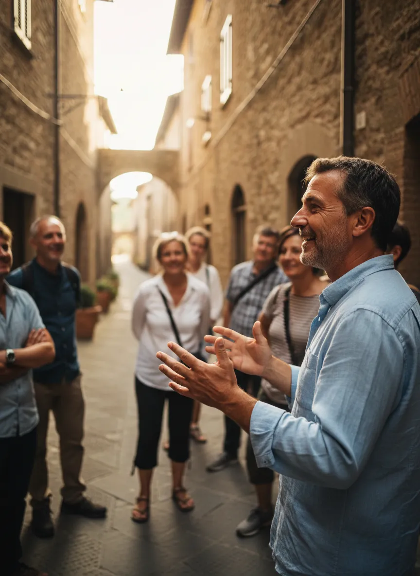
Il tuo tour lead
Non un accompagnatore qualunque: un narratore del territorio, nato qui o che ha scelto di restarci. Conosce le storie vere, le porte da aprire e i tempi giusti. È la persona che trasforma un bel viaggio in un ricordo indimenticabile.
A sample itinerary
- Day 1
Baunei and the Golgo
Arrival in Baunei, the climb to the Golgo Plateau among sheepfolds and holm-oak woods, the church of San Pietro and the abyss of Su Sterru. Dinner with the shepherds and su porceddu.
- Day 2
On foot towards Goloritzé
A dawn descent down the Golgo path to Cala Goloritzé, the spire and the arch; a swim and slow time before the climb back, with a packed lunch of local produce.
- Day 3
The coves from the sea
By gozzo from Santa Maria Navarrese among Mariolu, Cala dei Gabbiani, Biriola and Sisine, with swimming stops and sea caves, far from the big boats.
- Day 4
Cala Luna and the flavours of the Supramonte
A last cove, Cala Luna with its caves; the return and a farewell table with culurgiones, pane carasau and pecorino from the interior.
Frequently asked
When is the best time for the Gulf of Orosei and Baunei?
Late spring (May–June) and early autumn (September–early October): the sea already warm, the paths walkable and the coves far less crowded than in high season.
Do you need to book to visit the coves of Baunei?
Yes. Access to Cala Goloritzé and the landings at the other coves are restricted and require booking: we take care of it, with small numbers and the right times.
Do I need to be fit? Do you do the Selvaggio Blu?
Goloritzé requires a trek of about 3.5 km with elevation gain. The full Selvaggio Blu is for experts only; we offer its most beautiful stretches, calibrated to your pace.
How do you reach the coves, on foot or by boat?
Goloritzé on foot from the Golgo only; Mariolu, Biriola, Sisine and Luna by private gozzo from Santa Maria Navarrese. No coaches and no large vessels.
More villages to discover
 Abruzzo
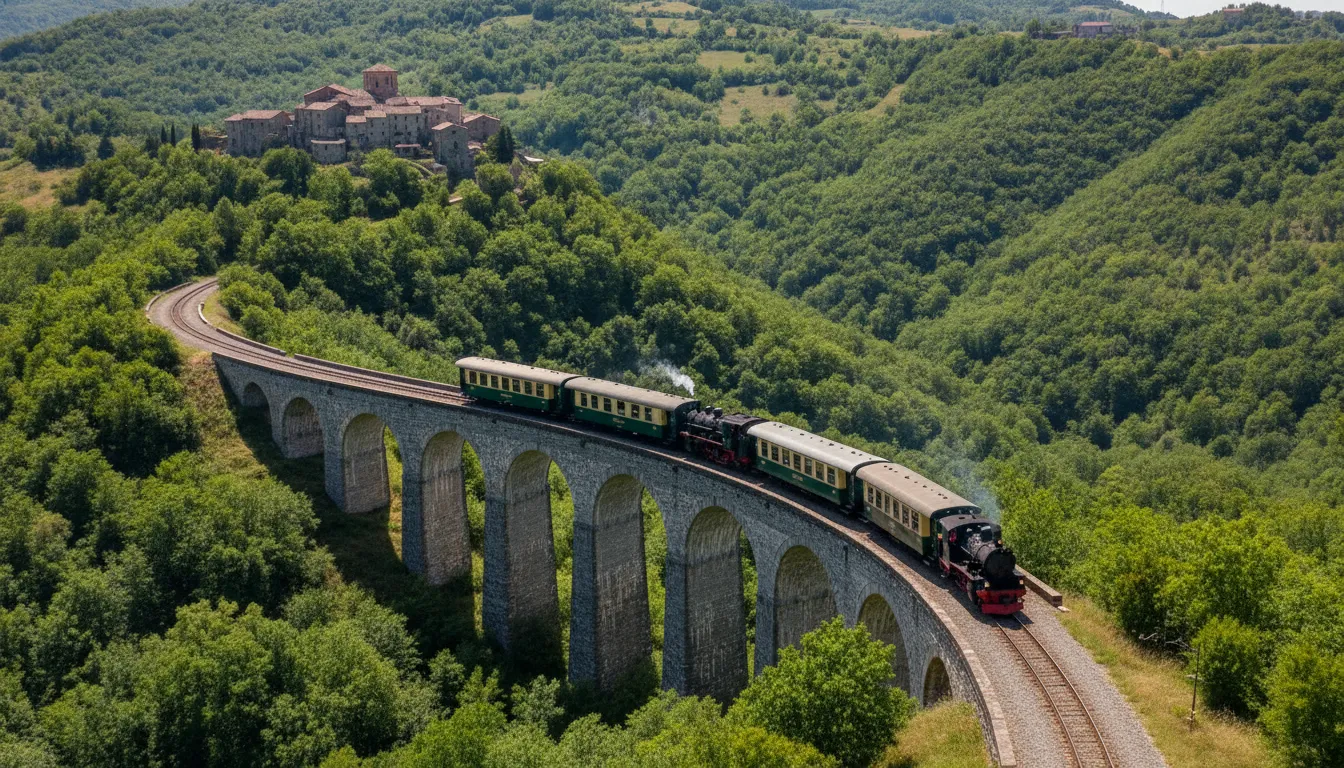
 The Transiberiana d'Italia and the villages of Abruzzo
Abruzzo · Sulmona, Pescocostanzo, Cocullo, Campo di Giove
A slow train through the wild heart of the Apennines
Explore the village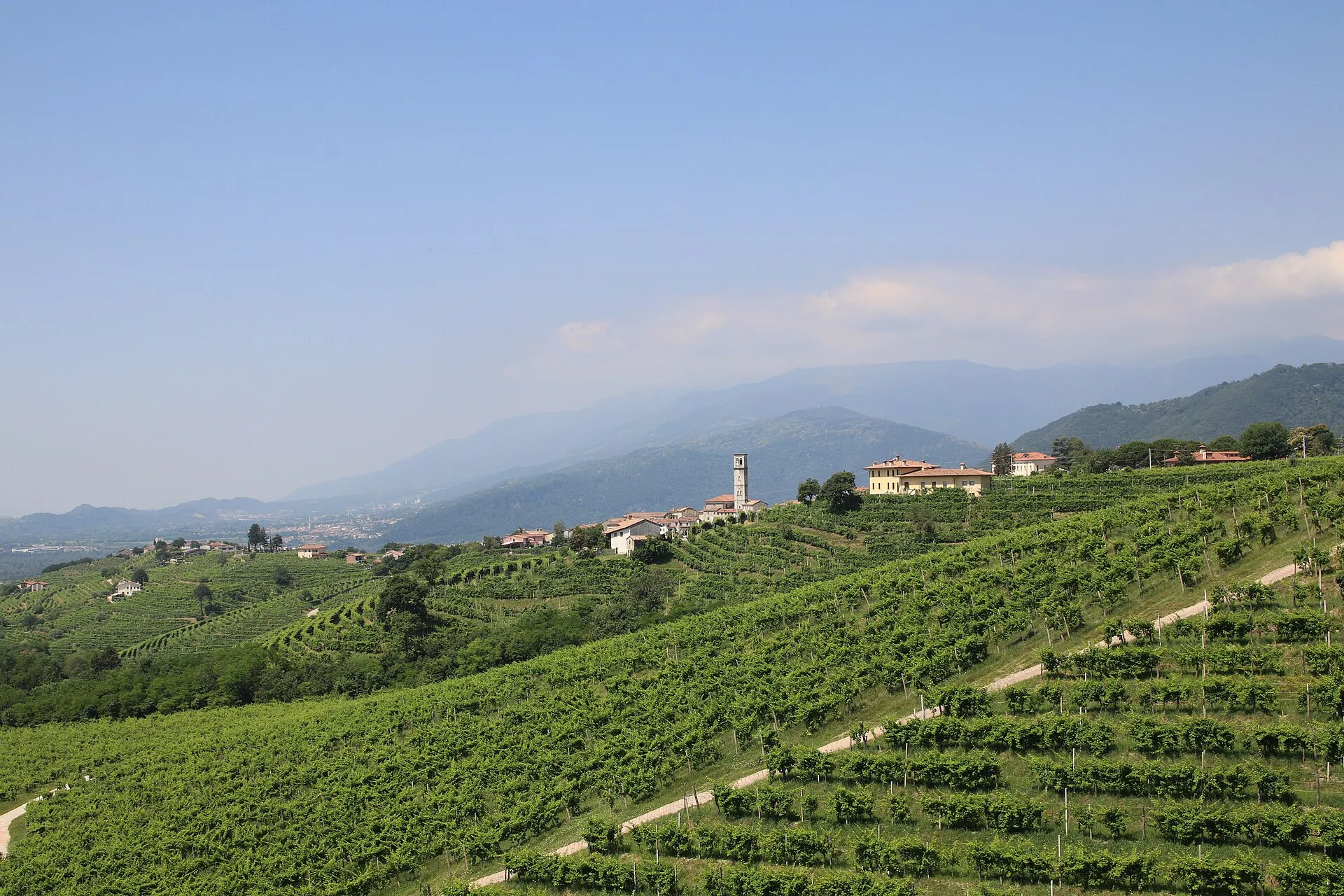 Veneto
 The Prosecco Hills
Veneto · Valdobbiadene, Conegliano and the UNESCO rive
Hand-stitched hills where the light of the Prealps turns into wine
Explore the village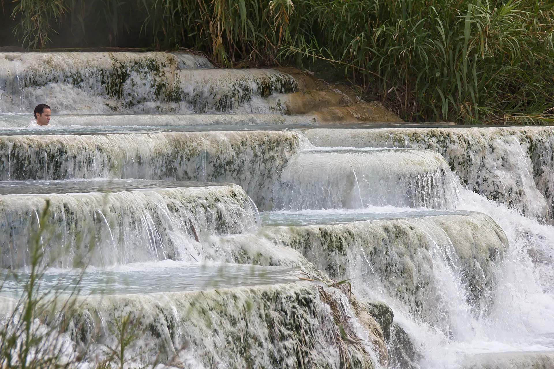 Tuscany
 Saturnia and the Tuscan Maremma
Tuscany · Saturnia, Pitigliano, Sovana
Warm waters born of a thunderbolt and towns carved from tufa
Explore the villageReady to truly set off?
Choose the experience that calls you: the details, the stories and the right thresholds are on us.